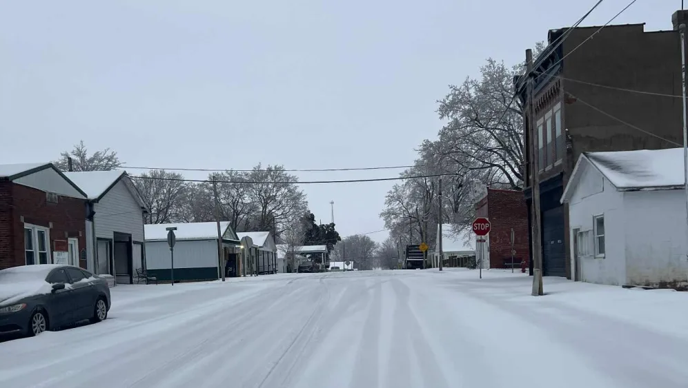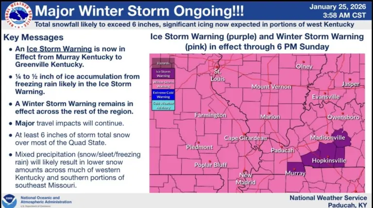
The National Weather Service has issued an Ice Storm Warning for Sunday, with bitterly cold temperatures adding a Cold Weather Advisory for Sunday and an Extreme Cold Warning for the first part of the week.
National Weather Service Meteorologist Rachel Trevino says conditions began to change Saturday night and early Sunday morning, which prompted the Ice Storm Warning.
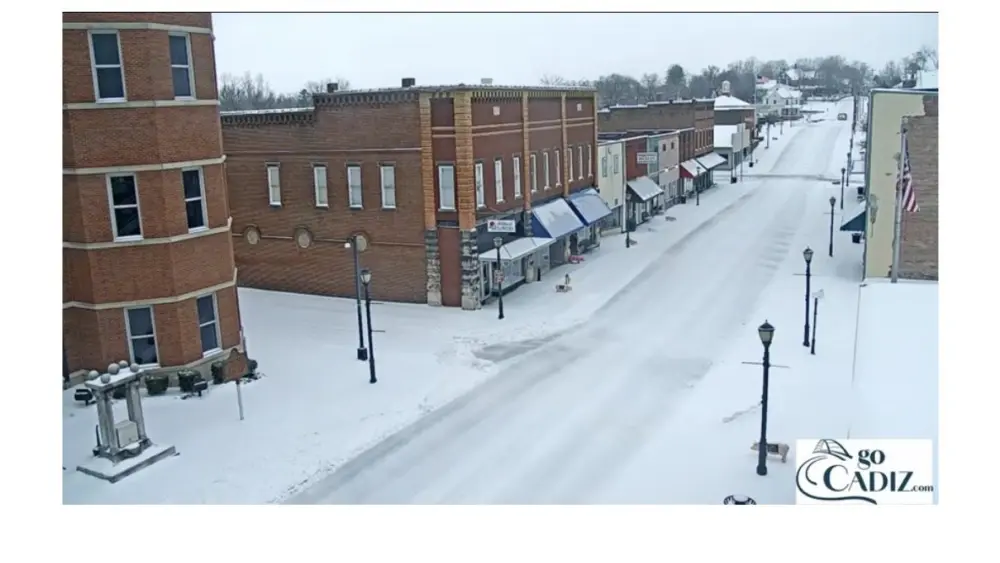
click to download audioTrevino says the warning includes Christian, Trigg, Calloway, Todd, and Muhlenberg Counties in Kentucky.
click to download audioShe says it is vital to heed the warnings by emergency officials to avoid travel.
click to download audioTrevino says the bad news is the snow, ice, and sleet will hang around for several days.
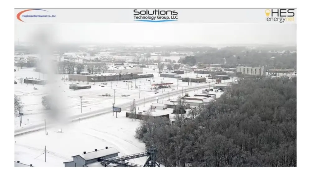
click to download audioShe adds varying amounts of snow and sleet have been recorded across the Paducah National Weather Service forecast area that includes Western Kentucky, Southern Indiana and Illinois, and Southeast Missouri ranging from five inches at the National Weather Service office in Paducah to more than eight inches in Evansville.
click to download audioThe Ice Storm Warning remains in effect until 6:00 Sunday night, with a Cold Weather Advisory in place until midnight Sunday night, and an Extreme Cold Warning in place until 10:00 Tuesday morning.
National Weather Service Information