Weather forecasters are continuing to monitor the threat of severe weather over the holiday weekend with the highest severe risk on Sunday.
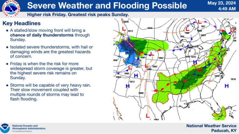
The National Weather Service in Paducah said a slow-moving front will bring a chance of daily thunderstorms through Sunday.
Friday is when the risk for more widespread storm coverage is greater, with some storms capable of very heavy rain. Their slow movement coupled with multiple rounds of storms may lead to flash flooding.
On Saturday, there is another marginal risk across portions of the region, but the storm coverage looks to be very isolated. With the possible exception of Sunday, none of the days look to be a complete washout.
A combination of instability, shear, and moisture on Sunday may give us a more substantial severe weather threat. Damaging winds, large hail, and tornadoes are all possible on Sunday, and heavy rainfall and lightning will accompany the thunderstorms.