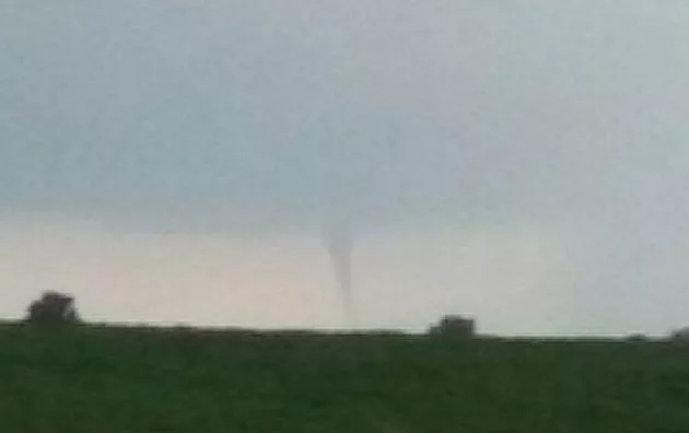
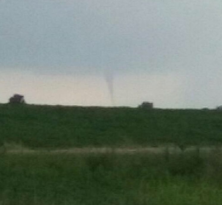
According to the National Weather Service in Louisville, a cold air funnel forms beneath rain showers or weak thunderstorms when the air aloft is especially cold. The funnels are most common in the fall and spring time when the sun is able to heat up lower levels of the atmosphere.
Cold air funnels are typically harmless, but on rare occasions, they touch down and cause EF-0 level (winds up to 85 mph) tornado damage.
No damage was reported around the region as a cold air funnel event took place during the evening hours of Tuesday, July 31, 2018. Numerous photos and videos were shared on the Your Weather Edge Facebook page.
Check out this video from Jason Housman of “Carpnado” from Kentucky Lake.
The National Weather Services adds it’s usually not necessary for them to issue Tornado Warnings for cold air funnels since it is so rare for them to make it all the way to the ground and become a tornado. They are also difficult to detect on the radar since they are very weak. The NWS will usually issue a Special Weather Statement when cold air funnels have been reported. Of course, a Tornado Warning will still be issued if it is felt that a funnel will touch down.