Hang on to your hats and break out your winter coats: An Arctic blast will bring cold temperatures and howling winds across much of the central and eastern U.S. over the next week or so. It may get even colder, as we approach Thanksgiving, as we see the season’s first appearance of the infamous Polar Vortex.
Though the vortex itself has been around for a few billion years and understood by scientists for several decades. The term “polar vortex” has only recently been popularized, bringing attention to  a weather feature that has always been present. By itself, the only danger to humans is the magnitude of how cold temperatures will get when the polar vortex expands, sending Arctic air southward into areas that are not typically that cold.
In short, there is no cause to be alarmed when you hear about the polar vortex, but you should be prepared for colder temperatures. The main question as we go into Thanksgiving week, is how cold will it get and how long will it stay? I can say that the snow pack in the northern regions are starting to build up and that is important on how our winter will evolve. 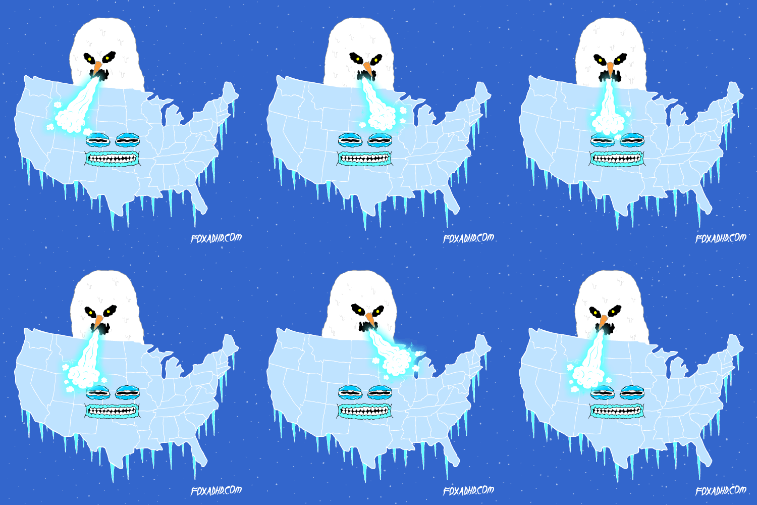 Many of you have heard of the Polar Vortex in winters past. Even though the Polar Vortex hasn’t been heard from much in the last couple of years in our area, it is actually is a seasonal atmospheric phenomenon, a system of strong, high-level winds — called the jet stream — surrounding an extremely cold pocket of Arctic air.
Look at it as sort of a prison for the vortex. Jet stream winds usually form a boundary that keeps the cold air contained and prevents us from freezing. The problem, though, is that once in a while, the polar vortex breaks down a little. The wall of the prison weakens. The result is a big, powerful blast of Arctic air that can travel far south, causing the temperature to plunge in places accustomed to having mild winters. This vortex contains some of the coldest air in the northern hemisphere. Often, when the polar vortex is strong, temperatures are mild in the mid-latitudes across the Eastern US and Northern Eurasia because the winds around it are strong and confine the cold air within the vortex.
When the winds holding it in place are not as strong, some of the cold air is able to break out of the vortex and plunge southward. Temperatures tend to be very cold across the Eastern US and northern Europe and Asia. Looking farther ahead to the end of fall and the beginning of winter, we expect that there will be a significant change in the pattern which would result in a winter that is rather different from the mild winter that we saw last year across the region. In fact, the pattern is expected to more closely resemble the winters of 2013-2014 and 2014-2015.  Remember the deep snows we had in our region during those winters’ thanks in part to the Polar Vortex?
So the snow cover that is building in the north will have a large impact on our winter. North American snow cover is now above normal and has accelerated in November. North American snow cover is currently at decadal highs and is in contrast to last November when snow cover extent was at ten year lows. Further snow cover advance is likely especially in eastern North America but the explosive growth this month is probably over. Still more extensive snow cover could support colder Arctic air masses in the coming weeks. Having said all that, Thanksgiving week promises to be interesting. The first round of colder air arrives Sunday the 19th. A second round of colder air arrives in the Wednesday time frame. Then there is the possibility of either rain changing to snow on Thanksgiving morning, or just cold with maybe some snow flurries, or maybe just cold.
As I write this, there is a big question mark for Thanksgiving. The models don’t agree on the setup. Right now, I’ll take a wait and see disclaimer on this Thanksgiving storm, but it’s better to at least know the possibility so this way you can either alter or change your holiday travel plans. This is what I posted back on Oct 18th concerning Thanksgiving weather…“Temperatures will grow progressively colder by the 3rd week and a storm arrives by the weekend after Thanksgiving. That storm may bring rain, sleet, and/or snow depending on the temperatures.” Not bad considering that was a month ago. Here was another post from around Halloween… “There are indications that blocking patterns are trending to provide much colder conditions, especially as we near Thanksgiving and beyond. Yes…there could be snow chances…I did say Chances.” 
Okay, enough of tooting my own horn, but I am happy with my record of accuracy so far. Anyway, it currently looks to me like mid-December will be the most likely time this winter like pattern will set in. That should last through the Christmas holidays with a storm just before or on Christmas Eve. From there on, the cold becomes more intense with frequent visits from the polar vortex…and yes…snowfall. It will likely be a winter to remember. Feel free to leave comments and be sure to hit the “Like” button at the bottom of this post.
