


The first week of the New Year has picked up right where 2017 left off with an abnormally cold and dry pattern persisting across the region. Waves of dry, cold Arctic air continues to spill southward from Canada across the nation’s midsection this week.
This in turn has the Gulf of Mexico moisture closed off, inhibiting precipitation from breaking out across the region. There are indications of a change in the weather pattern heading into the second  week of the new year that may bring the return of wet weather.
A system is then expected to form somewhere in the vicinity of the southern Plains and lower Mississippi Valley along the southern edge of the cold air. The exact time it takes for the storm to take shape and its final track will determine where precipitation falls and what form it will take, whether it be rain, snow or the dreaded ice. While I am a snow lover, I will happily take the rain if that is what it turns out to be. But I have to tell you that ice is a possibility. I believe that this is the most critical period of the winter and will ultimately determine the character of the winter. 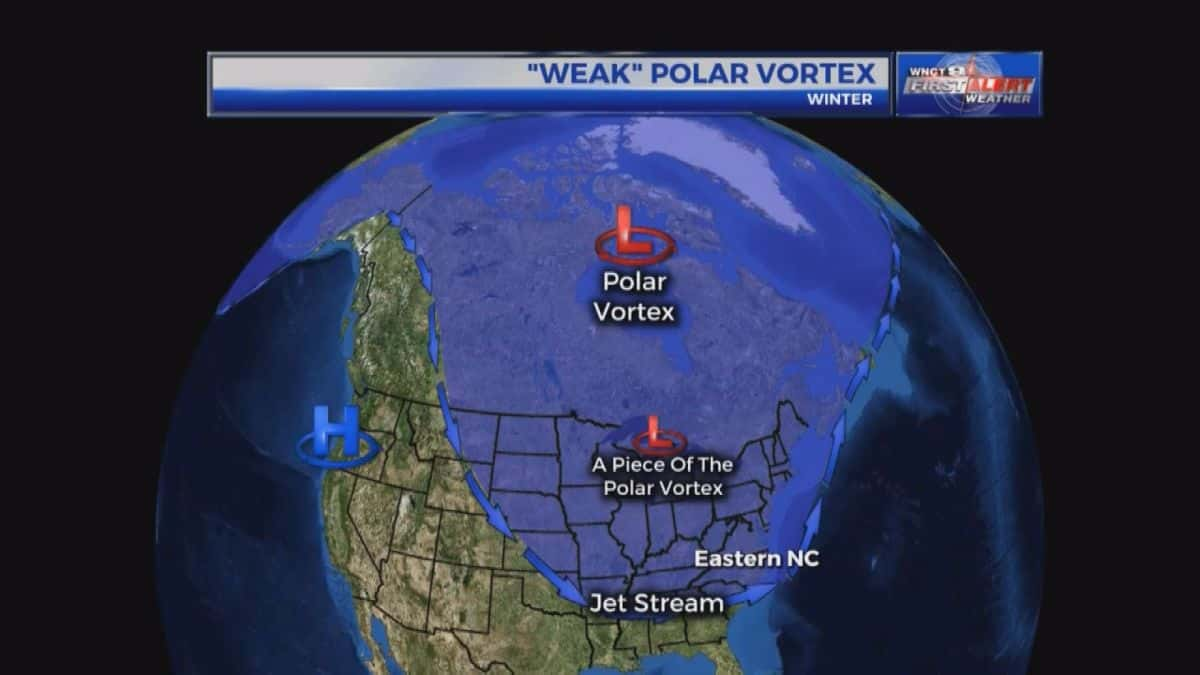 It is possible we have approached a fork in the road and the atmosphere can take two possible paths, one is a path where the rest of the winter is relatively mild across the mid-latitudes of the Northern Hemisphere, and the second is a colder path.
I will try to explain the situation in terms that hopefully everyone will understand. Up to this point, the extreme cold has been brought to us by a piece of the Polar Vortex that moved south after it was weakened by a natural wave, or pulse in the atmosphere called Wave Activity Flux (WAFz). This is what was responsible for the polar vortex activity for the end of December and the first week of January. The predicted configuration of the stratospheric Polar Vortex in early January looks similar  as the two perturbations observed in December in that it supports northerly flow and cold temperatures in eastern North America. With each repeated Polar Vortex disruption even if minor, winter goes further down towards the colder path. The best comparison so far this winter is the winter of 2013/14.
As far as this winter goes, it does seem increasingly likely that a cold winter will be the rule across the Eastern US. If a major disruption of the Polar Vortex caused by another wave does occur then I would expect the cold across the Northern Hemisphere to become more widespread with the intensity of the cold in eastern North America likely moderating but not fully reversing. Also, the weather pattern could be of longer duration and less variable. 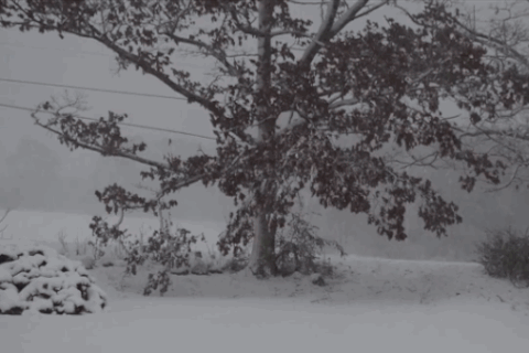 A significant stratospheric Polar Vortex disruption would then be followed by an extended period of severe winter weather across the eastern U.S.
However, as we get later into winter even just one more stratospheric Polar Vortex disruption may be sufficient to carry cold temperatures into the month of February regardless of the behavior or strength of the stratospheric Polar Vortex. And there are already signs of yet another energy pulse mid-month that often disrupts the Polar Vortex. So, in a nutshell, indications are that even though our temperatures may warm just a bit, at some point we very well may return to frigid temperatures. While the extreme cold does start to relax next weekend and early next week, this continues to be a very cold pattern across our region. The thing is, if we want snow, we will need to warm up some in order for moisture to get into the atmosphere. It looks like that will happen by Sunday.
I do expect to see some sort of frozen precipitation that will probably change to rain. But nothing is in concrete at this point and this new pattern promises to be interesting. If you are a snow lover, hang on. We are only a little over two weeks into winter and it is a long ways from being over. Feel free to leave comments and be sure to hit the “Like” button at the bottom of this post.