


Many folks may have been lulled into a false sense that the approaching winter may not be too bad. We have certainly seen some mild temperatures considering it is the last weekend in November. Even though it is a little cooler at the moment, our up and down temperature swings continues.
But while we have been enjoying nice weather, I have been troubled by signs in the north and actually, across the northern Hemisphere. There can now be no doubt that changes are coming. A major pattern change is just around the corner. This is no small change coming, but a big 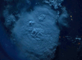 pattern flip that will put much of the country into the deep freeze as we head into the second week of December. Not only that, but there is the possibility it will come in rapidly and may catch a lot of people off guard.
So let’s talk about what is happening right now and why this appears to be imminent. The first has been the two storms battering Alaska’s Aleutian Islands this past week. The storms easily met the criteria for what meteorologists call bombogenesis, which is an atmospheric pressure drop of 24 millibars in 24 hours. The first storm became known as the strongest storm on earth because of the pressure drop. Gusts as high as 100 mph have been reported in some spots. This seems to be the first indication that something on a larger scale may be in the offing. One of the effects of these powerful storms is to weaken the Polar Vortex. You can think of the polar vortex as a circular air current that exists at two levels of the atmosphere, one in the troposphere, where most weather occurs, and the other a bit higher up, in the stratosphere. 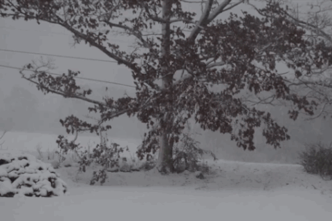
When the stratospheric polar vortex is strong, it tends to bottle up the cold air in the Arctic. A strong polar vortex means that the winds blowing from west to east at high altitudes across the Arctic are more powerful than when the vortex slackens and meanders. When the vortex weakens, as it did during the infamous winter of 2012-2013, and several winters since, the ultra-cold air can spill out of the Arctic, as if someone opened the door to the planet’s freezer. Not surprisingly, this can lead to cold snaps and snowstorms in the Eastern U.S., in Western Europe, as well as Eurasia. We should also note that sea ice on the North Pacific side of the Arctic is well below normal and this may favor anchoring a ridge near Alaska closer to the North American coast during the winter months.
Ridging in that position would favor a cold rather than a mild winter in eastern North America. That is what is called a blocking pattern. The predicted blocking pattern of three main ridges in the Gulf of Alaska, Greenland and the Urals has important near and long-term 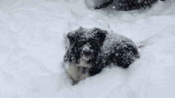 implications for the weather. Based on above normal Eurasian October snow cover extent, below normal Arctic sea ice extent and active high latitude blocking, should result in a stratospheric Polar Vortex disruption followed by multiple weeks of severe winter weather across the Northern Hemisphere. If a significant disruption of the PV does occur the regions where cold temperatures are most likely are the Eastern US, Europe and East Asia. Now that you are thoroughly confused, here is the nuts and bolts of what I (and others) believe is going to happen.
There is potential for a transition to stormy conditions beginning, during or just before the second full week of December. In order for storms to strengthen, slow down and unleash heavy rain and snow, the jet stream needs to become more amplified with southward dips and northward bulges. There is the potential for such a pattern to take shape during the first week in December with a block [an atmospheric traffic jam] anticipated to develop near Greenland. As the cold air pushes in, it will produce strong winds, rain and snow over parts of the Plains, but it has the potential to also trigger severe thunderstorms in the storm’s warm sector over our region before the cold arrives. It is too early for details on the location of snow versus rain, severe thunderstorm coverage and overall storm intensity. However, the thought is that the weather during December will not be calm and will likely trend stormy, colder, and yes…snowier for many locations. It looks like this will set the pattern for the coming winter. There could still be a mild spot here and there in coming months, but that is just allowing time for the Arctic to reload. Feel free to leave comments and be sure to hit the “Like” button at the bottom of this post.